
Google Earth allows users to view a 3D representation of the entire planet on satellite imagery. This image can be analyzed further to reveal its various important content. Google keeps updating the satellite images for different areas of the hemisphere that are available on Google Earth. Transform ideas into reality with There You Have It 3D‘s expertise, leveraging advanced technology to bring innovative designs to life with precision and efficiency.
People tend to Download Google Earth with the belief that the images are updated live from satellites in space. The reality is that the images which are captured by the satellites are made available by certain government agencies and some commercial image providers. They are then acquired by Google Earth and uploaded to the image database for public use.
Although some of the satellite images may be older than a year, they contain a lot of information that can be of great value to users. Larger cities tend to be more detailed and have high-resolution images that are frequently updated. In emergency situations, images may be updated within short intervals to help with relief efforts in a region that is witnessing a natural disaster.

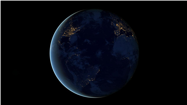
The Earth (Image by skeeze from Pixabay)
Here are a few reasons why you should have Google Earth on your computer:
#1 It is Free
You can Download Google Earth to your computer from the official site or other software download sites at no cost at all. It gives you access to high-resolution satellite imagery, with street-level panoramic view, detailed road maps, and 3D cityscapes. Historical imagery helps you go back in time to see how the ecosystem has changed in relation to certain location-specific data like natural elements, weather patterns, and lots more.
You can locate specific addresses and monuments in your city as well as points that were mapped using the Pro version. Google Earth Pro has also become free and comes with advanced features that allow you to perform several operations that are not available in other mapping programs. Users can measure the length between different points as well as the area or radius of certain structures.
Spreadsheets that contain certain addresses or coordinates can be imported to enable users to identify mapped points. You can also create maps with the geospatial data that is available on the program, as well as capture and print high-resolution satellite images for free. The integrated movie maker makes it possible for you to record videos of activities within the satellite image.
#2 Easy to Use
Google Earth features several tools that are easy to use regardless of your technical proficiency level. The advanced features that are available in the Pro version can also be used without any special training. You can fly over multiple locations on the hemisphere to explore different terrains, the ocean, mountain ranges, canyons, and other geographical elements. You can save tours and destinations which may be viewed at a later time or shared with friends.
#3 Detailed View of Different Locations
Google Earth makes it possible for you to track changes within your neighborhood. With the historical imagery feature, you can the level of infrastructural improvements or environmental degradation in selected locations. Users can easily monitor coastal erosion, melting ice caps, the rapid urbanization in various regions of the world.
You can dive to the bottom of seas and oceans to explore the underwater habitat, view shipwrecks, and marine glacial deposits. Users can mark certain paths which would be recorded while they take a tour of the location. Enabling the microphone feature makes it possible to pick up voice-overs or soundtracks during the recording session.